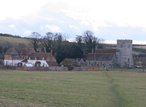
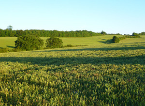
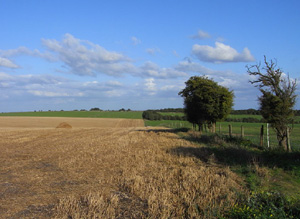
This is the upper end of the Pang Valley and neighbouring areas of the high-downs. It includes a major dry valley that joins the Pang Valley from the North at Compton.
Earlier Bronze Age round barrows are widespread many existing only as ring ditches, with Grim’s Ditch representing a probable Bronze Age territorial boundary. Later prehistoric activity is widespread across the higher downland areas. There is significant cropmark evidence of Romano- British activity and excavated sites including a villa site, and two Romano-British pottery kilns of the fourth century AD. Evidence for Medieval activity including lynchets and settlements is visually dominant. Significant areas of surviving ancient woodland preserve evidence of the Post-Medieval exploitation of Woodlands in the AONB and protect earlier archaeological sites and evidence.
North Wessex Downs AONB HLCA Extract 10
Present Day Historic Landscape Character

The mechanisation of agriculture in the later 20th century has led to an almost total re-organisation of these fieldscapes and few historic enclosures remain unaltered. The East Ilsley downs have also now been enclosed into fields and only small strips of downland grassland remain within the area.
The growth of the racehorse industry has also had an effect on the area; extensive gallops exist amongst the modern fields on former downs and areas of studs and paddocks are developing around West Ilsley and Compton. The loss of downland is significant as it is now recognised as a significant and threatened habitat; the AONB as a whole has lost around 95% of recorded downland.
Some sizeable areas of ancient woodland have been lost through clearance to create farmland but most of this was carried out in the late 19th century. The remaining areas of ancient woodland have fared better than in many other areas, and only small sections have been subject to clearance and replanting.
Layers in the Landscape

Earlier prehistoric archaeology is scarce with the one notable known monument being the Sheep Down Neolithic long barrow. Earlier Bronze Age round barrows are widespread many existing only as ring ditches. Later prehistoric activity is widespread across the higher downland areas, for example, in the parish of East Ilsey Bronze Age earthworks perhaps denoting settlement exist within extensive field systems. In fact field systems are widespread across the area mapped from aerial photographs these fields have generally been ascribed a later Iron Age/Romano-British date. Elements of these field systems survived until recently as earthworks but have been levelled due to increased intensity of ploughing. An Iron Age hill fort has been identified at Perborough Castle.
There is significant cropmark evidence of Romano- British activity and excavated sites including a villa site, and two Romano-British pottery kilns of fourth century AD date in the parish of Compton. Later Medieval activity on the downland areas includes extensive areas of lynchets which have been given a Medieval and Post Medieval date and the site of windmill mounds, and windmills dating from the Medieval period until 1920.
In the valley bottom of the Pang evidence tends to relate to the Medieval settlements of West Ilsley, East Ilsley, West Compton and Compton, including pits and settlement features uncovered during settlement development, areas of ridge and furrow are also known as well as deserted Medieval settlements and Medieval fish ponds.
Like adjacent downland areas the Medieval landscape was based around nucleated settlements set amongst open fields on the lower valley sides and utilising common grazing on adjacent or nearby downs. Most of the boundary of this area coincides with parish boundaries. Some open field between Compton and Aldworth had been enclosed by the 18th century. This process is far less widespread than in adjacent areas and most of the open field and downland were enclosed through Act of Parliament in the early 19th century. East Ilsley is the exception to this pattern and remained an unenclosed parish throughout the great phase of Parliamentary enclosures. It was one of the latest parishes to be enclosed, the open field finally being divided into private fields by agreement in the late 19th century whilst its downs remained unenclosed into the 20th century. Many field barns existed within the open fields.
Historic Settlement Character

The historic settlement pattern was dominated by nucleated villages sited on the valley floor, such as West Compton and Compton. This trend was so strong across most of the area that other forms of settlement were almost totally absent. A slightly different pattern existed around the village of Aldworth. Aldworth was situated at the extreme East of the area on the Pang–Thames watershed, and several farms existed in its immediate neighbourhood.
Historic Farmstead Character
There is a low concentration of pre-1750 farmstead buildings. These farmsteads are often large with loose courtyard plans or 19th century regular courtyard plans and are associated with the valley bottom. Large timber-frame barns, some of 15th century date but more often of 17th – 18th century date are known in this area.


